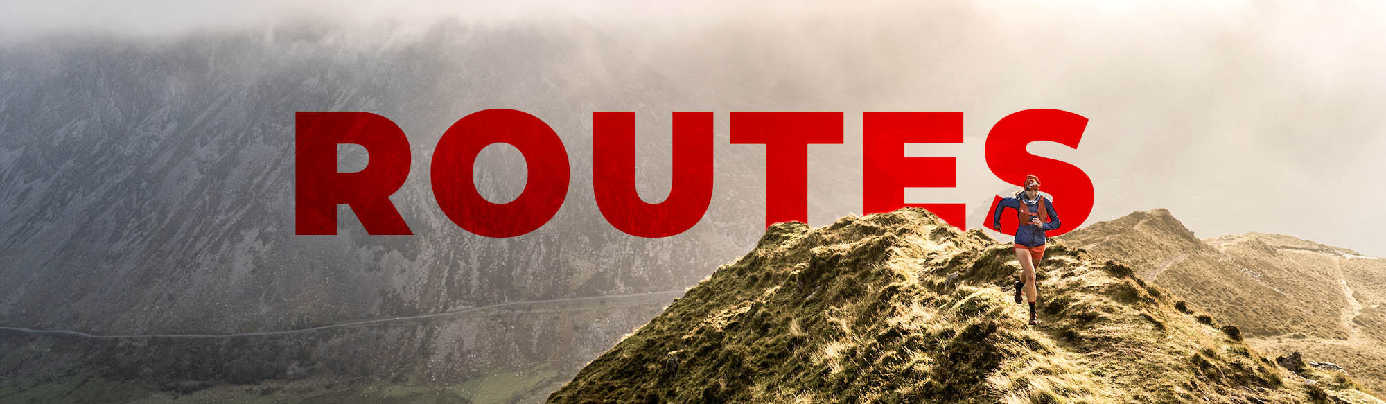
UTS 50 DETAILED ROUTE GUIDE
After leaving the National Slate Museum, the opening kilometres to Waunfawr are relatively easy, starting with a gradual, runnable ascent of Maesgwm Valley, before turning north to traverse the grassy, undulating slopes of Moel Eilio ‘ridge’. After a lengthy descent and a few kms of tarmac, you’ll soon arrive at the Snowdonia Inn aid station. The field will be quite closely spaced still by this point, so it could be quite congested – please be patient.
The initial grassy climb to Moel Eilio ridge in 2019. © Evan Davies
Next up, steady running across moorland terrain towards the foot of Mynydd Mawr – known locally as ‘Elephant Mountain’ – can you spot it? A steady climb up to the summit follows, where you can see all 15 Welsh 3000ft Peaks to the north, before a wonderful descent towards Foel Rudd, where the terrain falls away from you to both sides and ahead: a real highlight of all the race routes. The next descent from here is very steep, so take care! Finally, a short section of beautiful forest singletrack delivers you to the valley floor, where the next aid station at Bron y Fedw Uchaf farm awaits.
The trail from Mynydd Mawr, which you’ll descend. © Evan Davies
From here, you follow a 4x4 track across private land to join up with the Snowdon Ranger Path. Do NOT recce this section, head down the road to the Snowdon YHA instead, where the Ranger Path starts. Almost Alpine in character, the Ranger Path is predominantly loose and rocky, featuring several switchbacks in one part, up its steeper gradients. Closer to the summit, this incline backs off, as you cross the train line and join the (usually very) busy Llanberis Path to Snowdon summit, where there is a café and toilets.
The loose, rocky Ranger Path at the 2018 event. © John Shedwick
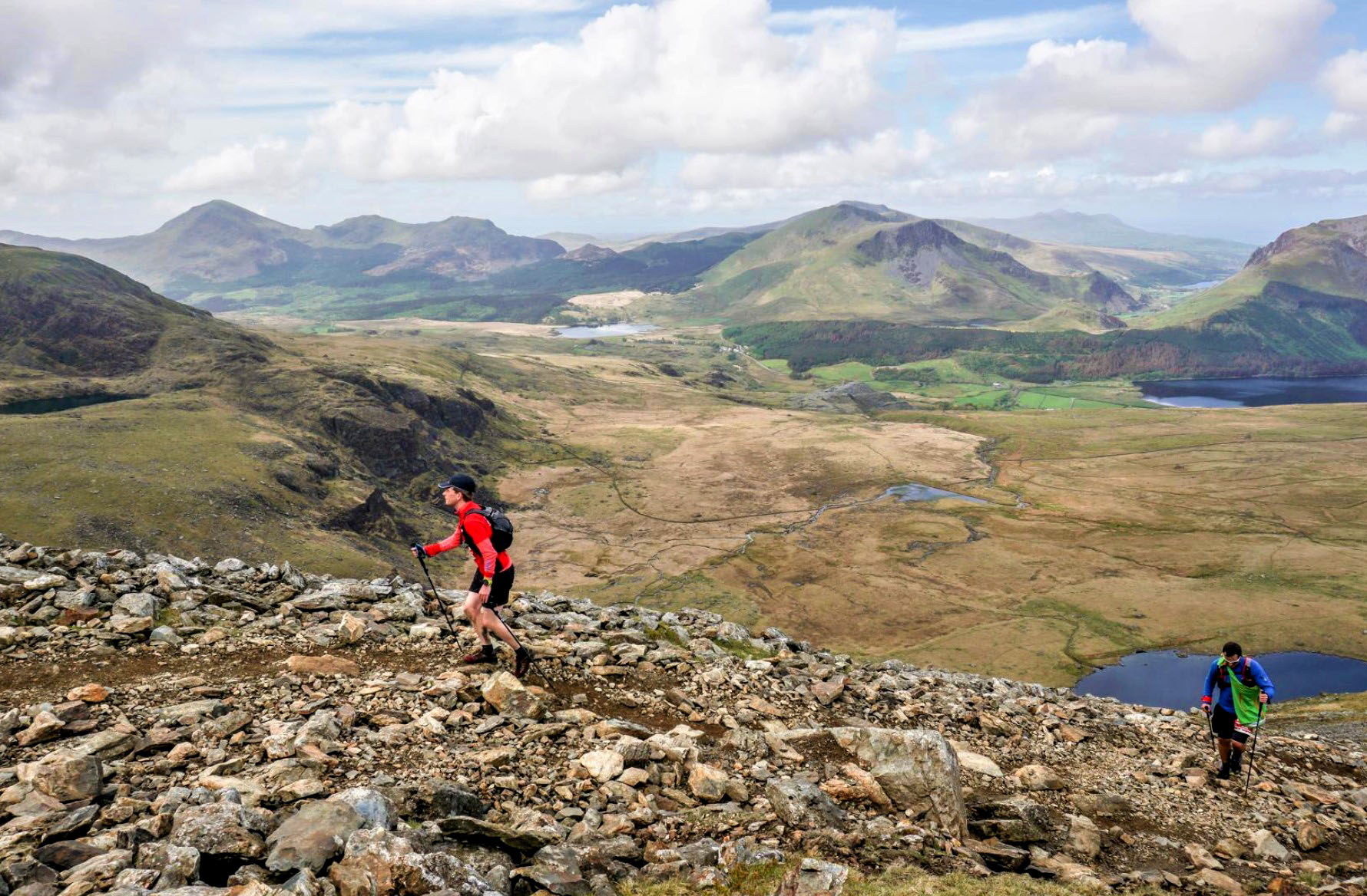
If you don’t like crowds, you’ll want to get gone from here ASAP and begin the Watkin Path descent to the saddle of Bwlch Ciliau, before heading straight ahead to take in a west-bound traverse of the highly underrated and much quieter peak of Y Lliwedd. The trail here is technical and may involve use of hands to negotiate easy sections of scrambling. Take a moment here to take in the views below to Llyn Llydaw and appreciate the journey encountered so far: you’re nearly there!
The Watkin Path to Y Lliwedd. © John Shedwick
Fun running across a brief plateau follows, then a steep plunge down technical, rocky singletrack to join Snowdon’s Miner’s Track for a brief couple of kms of vehicle track, before arriving at the final aid station of Pen-y-Pass YHA, which is managed by avid mountain runner and UTS alumni Jon (gazebo will be based in the garden to the west of the building – take care when crossing the road to get there!).
With Y Lliwedd behind you, the trail doesn’t relent! © No Limits Photography
Well, that’s nearly the end of this superb route! With the finish now a tantalising 12km & 650m+ away, one last ascent of the Snowdon massif via its rocky Pyg Track awaits. If you’re a faster runner, this trail can be busy during the day, so prepare to exercise some patience! Once topped out at the ‘finger stone’, make sure you don’t get confused (easily done, especially if visibility is poor) and take the correct Llanberis Path to the finish. Yes, it’ll seem like it goes on forever and will make you wince with 3000m of climb in the legs by this point, but bear with it!
Nearly there! Near the end of the Llanberis Path descent. © John Shedwick
Next up, after a short section of tarmac, don’t miss the turnoff just after Pen Ceunant Isaf café, where a short trail detour through the lovely Coed Victoria mixed woodland leads you to the A4086 road crossing - take care here. Finally, a short section of wooded trail, past the remains of Dolbadarn Castle follows, before crossing Padarn Parc back to the National Slate Museum finish, where cheers and beers await!
Beautiful beyond belief. Savage beyond reason.
And hopefully a great taste of real mountain Ultra-Trail running, will you be back to step up to the 100?...