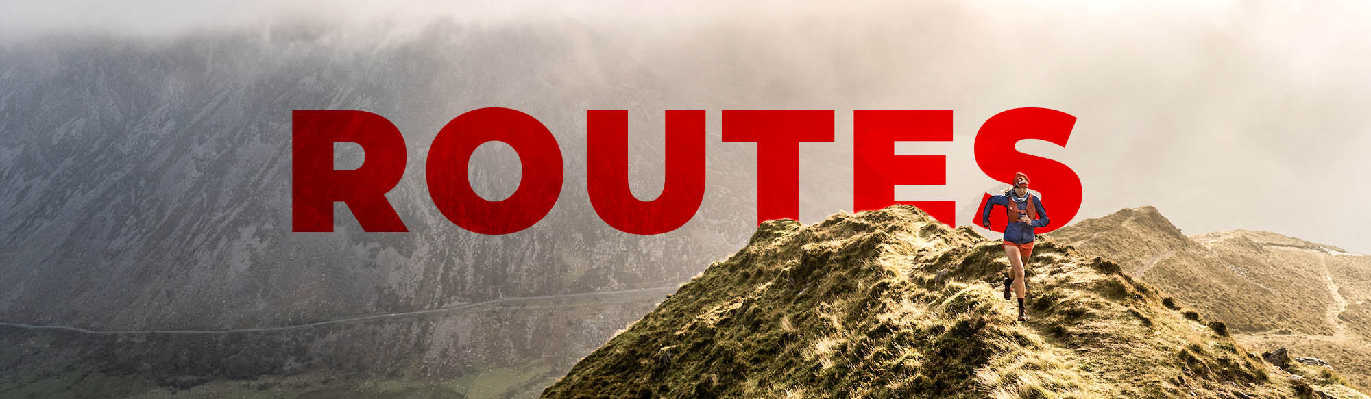
UTS 100 DETAILED ROUTE GUIDE
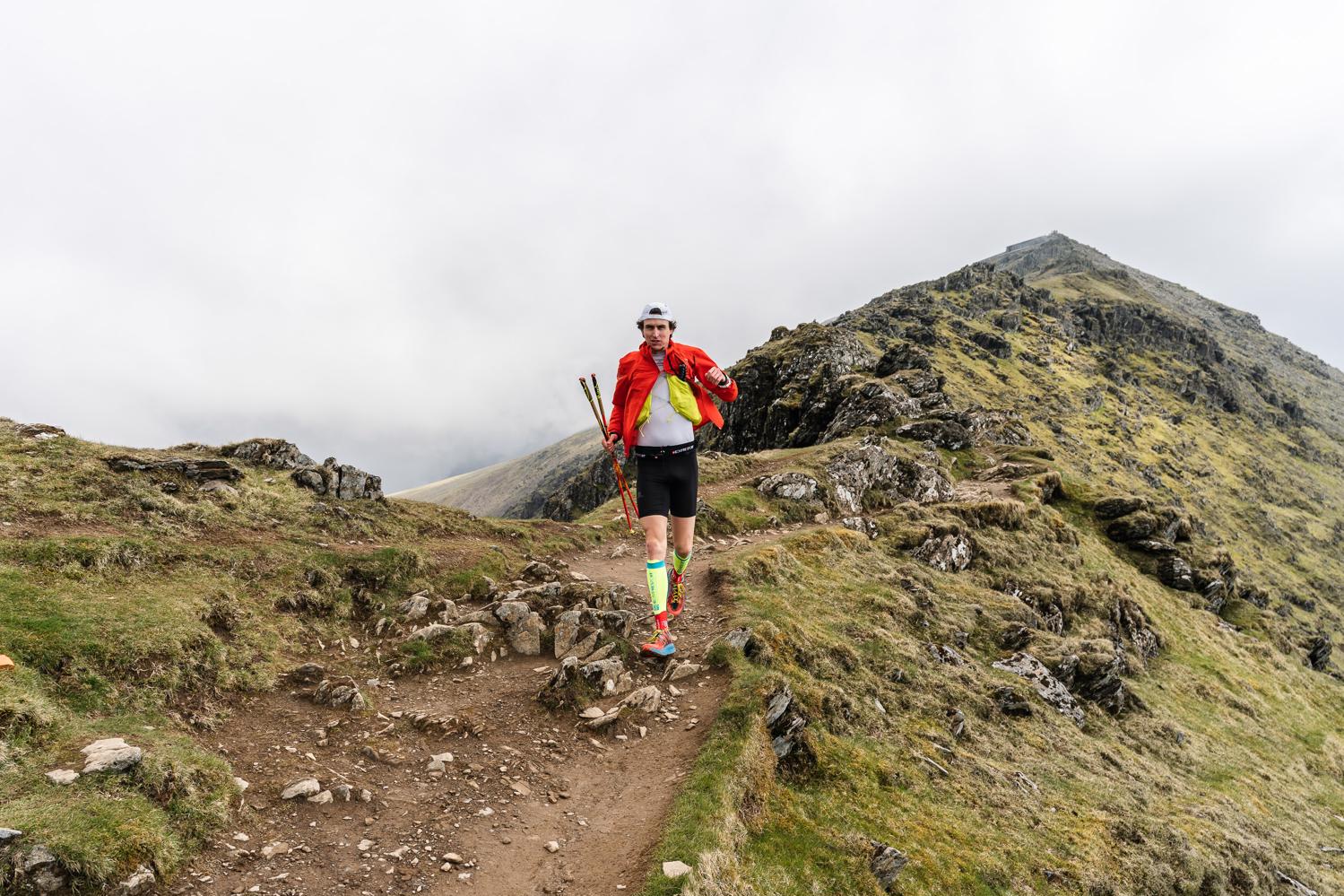
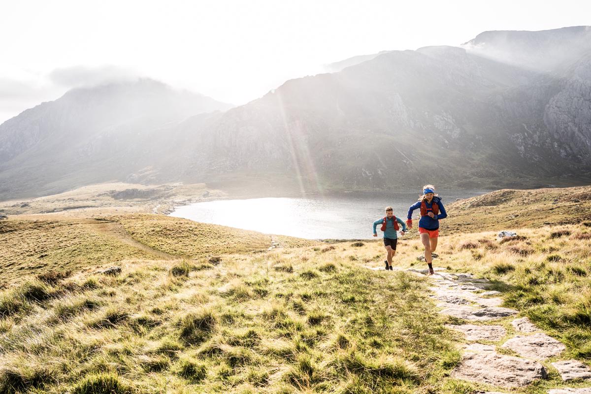
After leaving the National Slate Museum, the opening kms to Waunfawr are relatively easy, starting with a gradual, runnable ascent of Maesgwm Valley, before turning north to traverse the grassy, undulating slopes of Moel Eilio ‘ridge’. After a lengthy descent and a few kms of tarmac, you’ll soon arrive at the Snowdonia Inn aid station. The field will be quite closely spaced still by this point, so it could be quite congested.
The initial grassy climb to Moel Eilio ridge in 2019. © Evan Davies
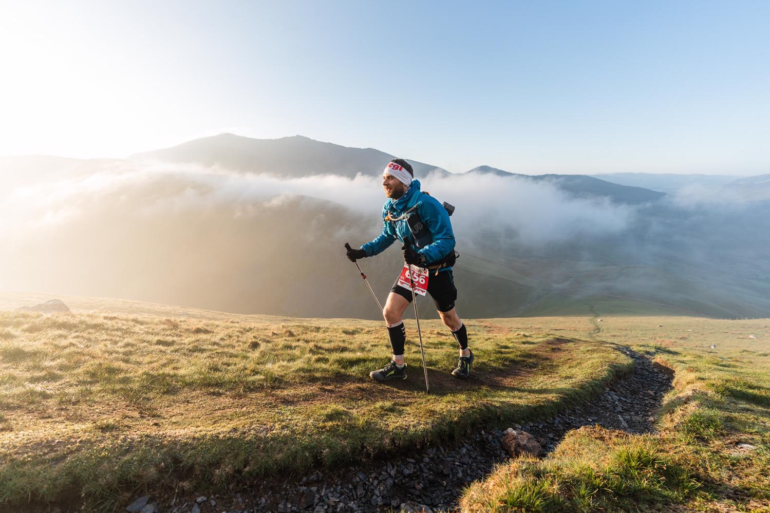
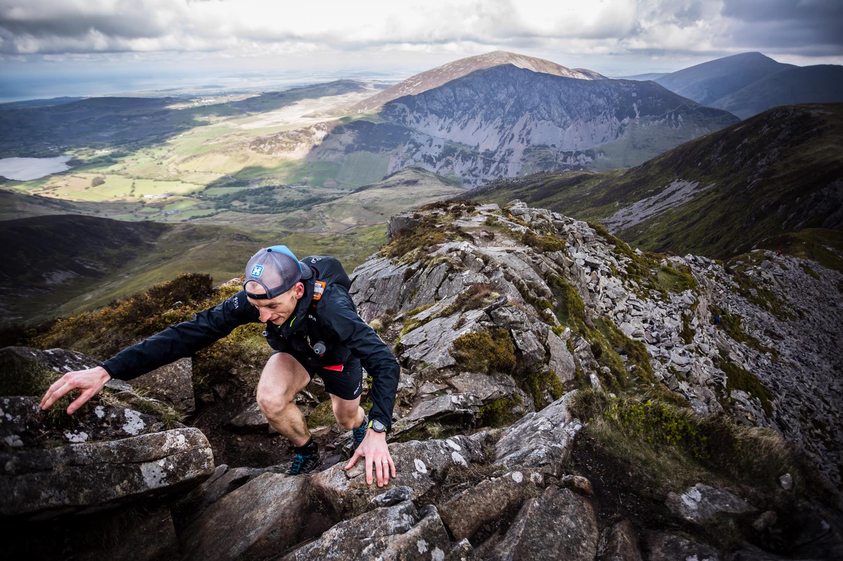
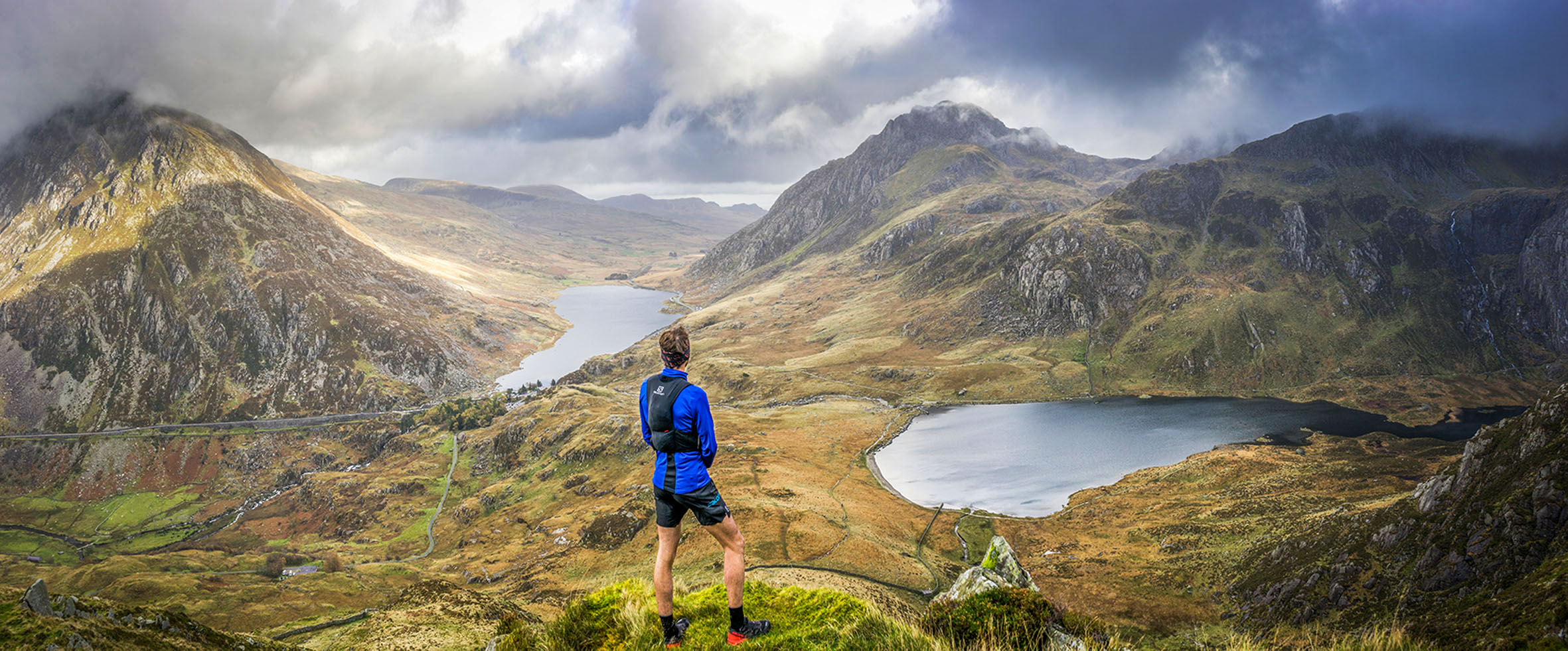
Next up, steady running across moorland terrain towards the foot of Mynydd Mawr – known locally as ‘Elephant Mountain’ – can you spot it? A steady climb up to the summit follows, where you can see all 15 Welsh 3000ft peaks to the north, before a wonderful descent towards Foel Rudd, where the terrain falls away from you to both sides and ahead: a real highlight of all the race routes. The next descent from here is very steep, so take care! Finally, a short section of beautiful forest singletrack delivers you to the valley floor, where the next aid station at Bron y Fedw Uchaf farm awaits.
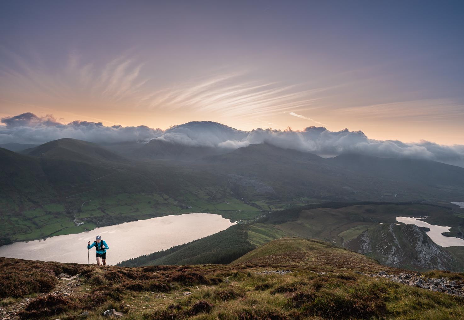
The trail from Mynydd Mawr, which you’ll descend. © Evan Davies
From here, you follow a 4x4 track across private land to join up with the Snowdon Ranger Path. Do NOT recce this section, head down the road to the Snowdon YHA instead, where the Ranger Path starts. Almost Alpine in character, the Ranger Path is predominantly loose and rocky, featuring several switchbacks in one part, up its steeper gradients. Closer to the summit, this incline backs off, as you cross the train line and join the (usually very) busy Llanberis Path to Snowdon summit, where there is a café and toilets.
The loose, rocky Ranger Path at the 2018 event. © John Shedwick
If you don’t like crowds, you’ll want to get gone from here ASAP and begin the Rhyd-Ddu Path descent to the village of the same name. This is RD Mike’s favourite descent in the area, so do take your time to enjoy the flowing, runnable (if feeling strong) nature of this trail and views on offer! At its end, find your way to Rhyd-Ddu Outdoor Centre, where the next well sheltered aid station awaits, where your support crew can also meet you.
A fun start to the technical Rhyd-Ddu Path. © Evan Davies
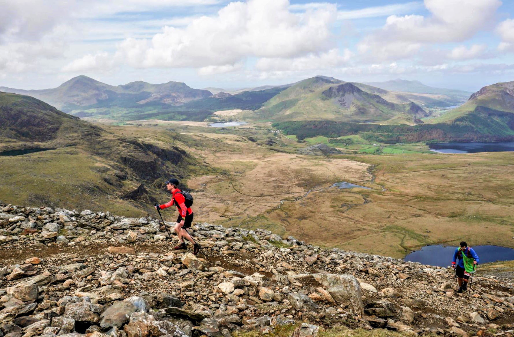
Fondly known as ‘that section’ by those who have completed past editions of UTS, the next 14.5km & 1,100m+ leg to Beddgelert is one you should be prepared to take your time with. Another special section of the 100/165 routes, this leg takes in a much quieter area of the National Park. Starting with a mercilessly steep and sustained ascent of Y Garn, the trail finally levels out before traversing the notorious Mynydd Drws-y-Coed section of easy scrambling - take care here and keep left to avoid any exposed drops to your right.
The precipitous scramble of Mynydd Drws-y-Coed (Nantlle Ridge). © No Limits Photography
Grassy running follows, and round halfway through this leg, below Y Gyrn, there will be a basic manned water point, should you need to restock. One more steep and unusually stable ascent follows, this time to the lone peak of Moel Hebog (Welsh for ‘bare hill of the hawk’, which is incorporated into the logo of local running club Rhedwyr Hebog). From here, a technical descent to the usually bustling, picture postcard village of Beddgelert awaits, with aid station nine based at the village hall. It’s tucked away from the main road, so do slow down on approach to the village or you’ll risk missing it! Here, you can access your drop bag too.
The mountains of ‘that section’, with Moel Hebog in the distance. © Evan Davies
Upon leaving the village, you’ll pass nearby Gelert’s Grave, if you fancy a quick detour to take in some local legend. The following rocky trail to Aberglaslyn Pass, alongside the Glaslyn River is simply sublime - you could be easily forgiven for thinking you were anywhere other than Wales! You then head northbound passing several disused mining lifts - relics from the nearby Sygun Copper Mines. Easy, fun running follows along the shores of Llyn Dinas, to the National Trust-owned Hafod-y-Llan farm aid station, nestled away in Nant Gwynant.
The lovely trail alongside Glaslyn River. © John Shedwick
Upon leaving here, you’ll follow the wonderful, well-established Watkin Path (one of Snowdon’s quieter trails), to the saddle of Bwlch Ciliau, before hanging a right to take in the highly underrated and much quieter peak of Y Lliwedd. The trail here is technical and may involve use of hands to negotiate easy sections of scrambling. Take a moment here to take in the views below to Llyn Llydaw and appreciate the journey encountered so far!

With Y Lliwedd behind you, the trail doesn’t relent! © No Limits Photography
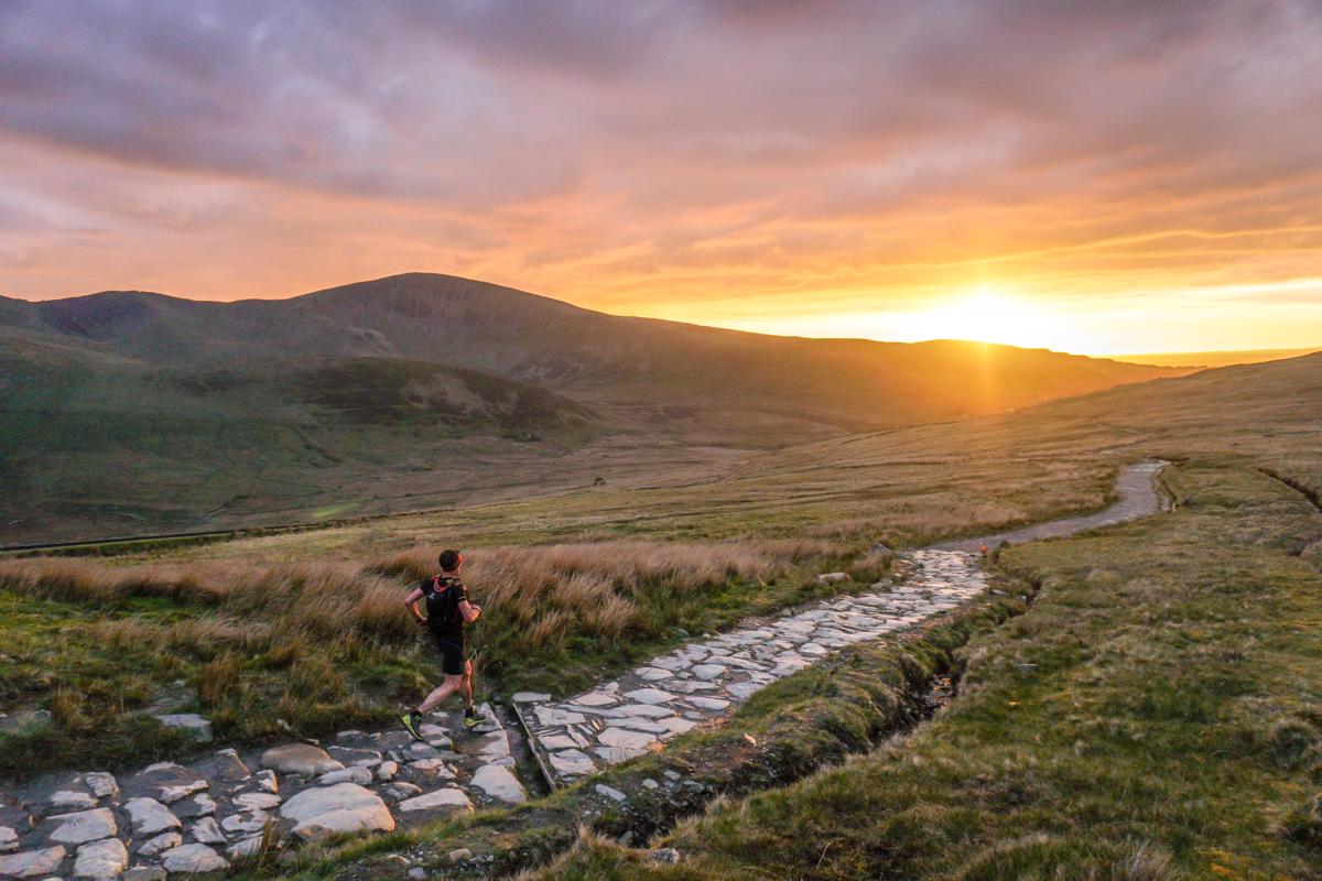
Fun running across a brief plateau follows, then a steep plunge down technical, rocky singletrack to join Snowdon’s Miner’s Track for a brief couple of kms of vehicle track, before weaving through the hectic Pen-y-Pass carpark to follow a lovely permissive footpath to the next aid station at Pen-y-Gwryd Hotel (famous for being the base of Sir Edmund Hillary & Co. while training for their successful first ascent of Everest in 1953). Take your time to re-stock here, as the next leg could be lengthy, at 14.5km & 1350m+.

An autumnal Cwm Tryfan in 2017. © John Shedwick
From here, you’ll head north, ascending a lovely trail known simply as The Miner’s Track (not to be confused with the one on Snowdon, of the same name!). After crossing a grassy plateau, with views of the iconic silhouette of the indomitable Tryfan in plain sight, you’ll follow a lovely section of singletrack to its Bwlch Tryfan saddle.
Ethereal running in Cwm Idwal one morning in 2020. © Ian Corless
The following trails for much of this section can be very loose and rocky, and a challenge to run well, particularly if in the slower half of the field and it’s dark! Slower runner will be fortunate enough to experience the following trail through Cwm Idwal as the sun rises on Saturday morning. A Site of Special Scientific Interest and National Nature Reserve, most weekend the shores of Llyn Idwal are highly frequented and you’ll no doubt find it easy to see why!
Looking back to Tryfan and Cwm Idwal in 2017. © John Shedwick
Another steep, sustained climb out of Cwm Idwal towards Y Garn follows, before you head south to nearby ‘Devil’s Kitchen’. From this basin, a very steep but short climb to the unmistakeable, rocky outcrop of Glyder Fawr’s summit follows. Conditions underfoot here are loose and potentially treacherous in places, so take care and steady yourself with poles is required. From here, the route plunges down south along the ‘red dots path’, before arriving at the final aid station of Pen-y-Pass YHA, which is managed by avid mountain runner and UTS alumni Jon.
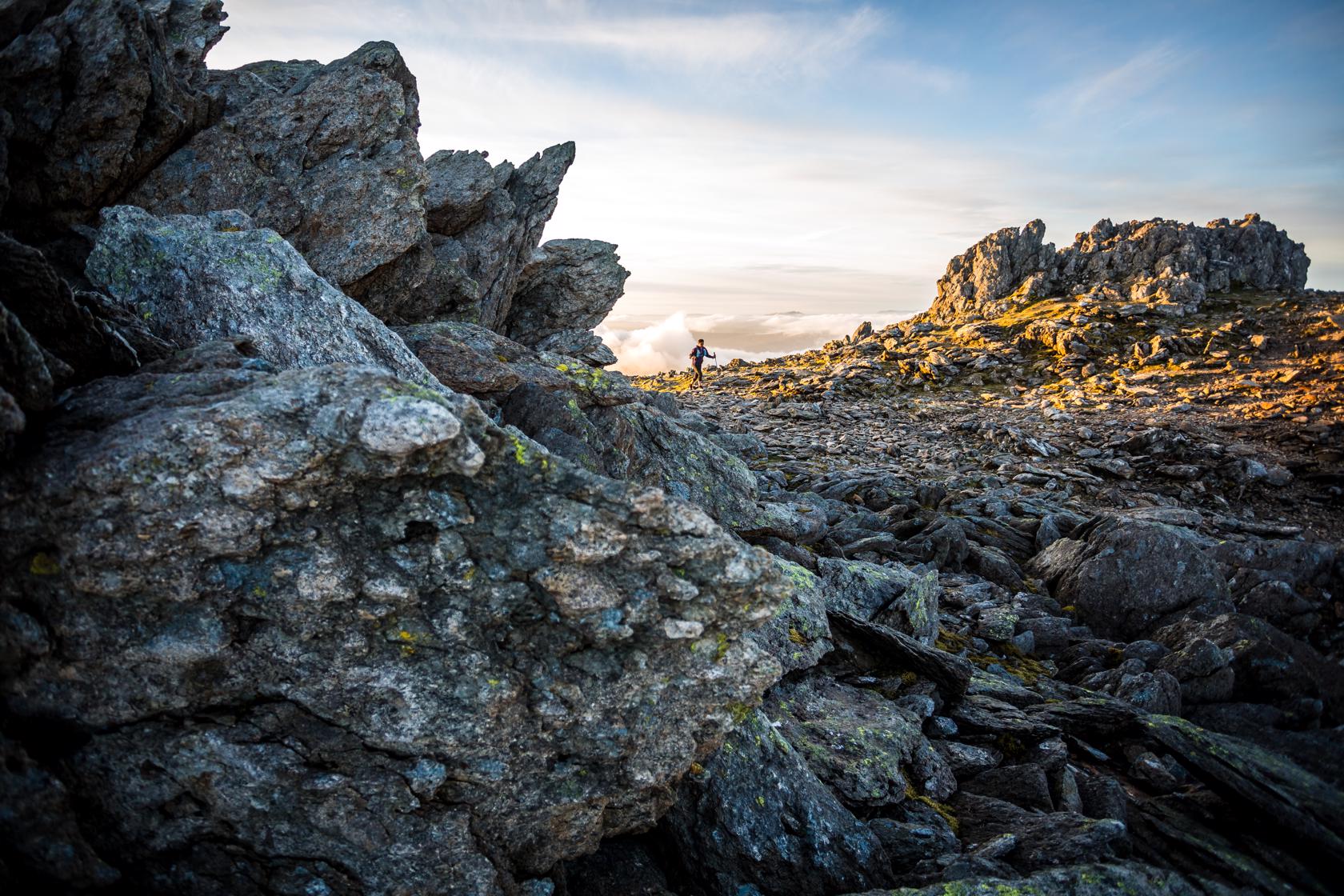
The other-worldly terrain of the Glyderau. © No Limits Photography
Well, that’s nearly the end of this bold exploit! With the finish now a tantalising 12km & 650m+ away, one last ascent of the Snowdon massif via its rocky Pyg Track awaits. If you’re a faster runner, this trail can be busy during the day, so prepare to exercise some patience! Once topped out at the ‘finger stone’, make sure you don’t get confused (easily done, especially if visibility is poor) and take the correct Llanberis Path to the finish. Yes, it’ll seem like it goes on forever and will make you wince at times on trashed quads, but bear with it!
Nearly there! Near the end of the Llanberis Path descent. © John Shedwick
Next up, after a short section of tarmac, don’t miss the turnoff just after Pen Ceunant Isaf café, where a short trail detour through the lovely Coed Victoria mixed woodland leads you to the A4086 road crossing - take care here. Finally, a short section of wooded trail, past the remains of Dolbadarn Castle follows, before crossing Padarn Parc back to the National Slate Museum finish, where cheers and beers await!
Beautiful beyond belief. Savage beyond reason.
And a grand day out indeed! Will you be back to step up to the 165?...